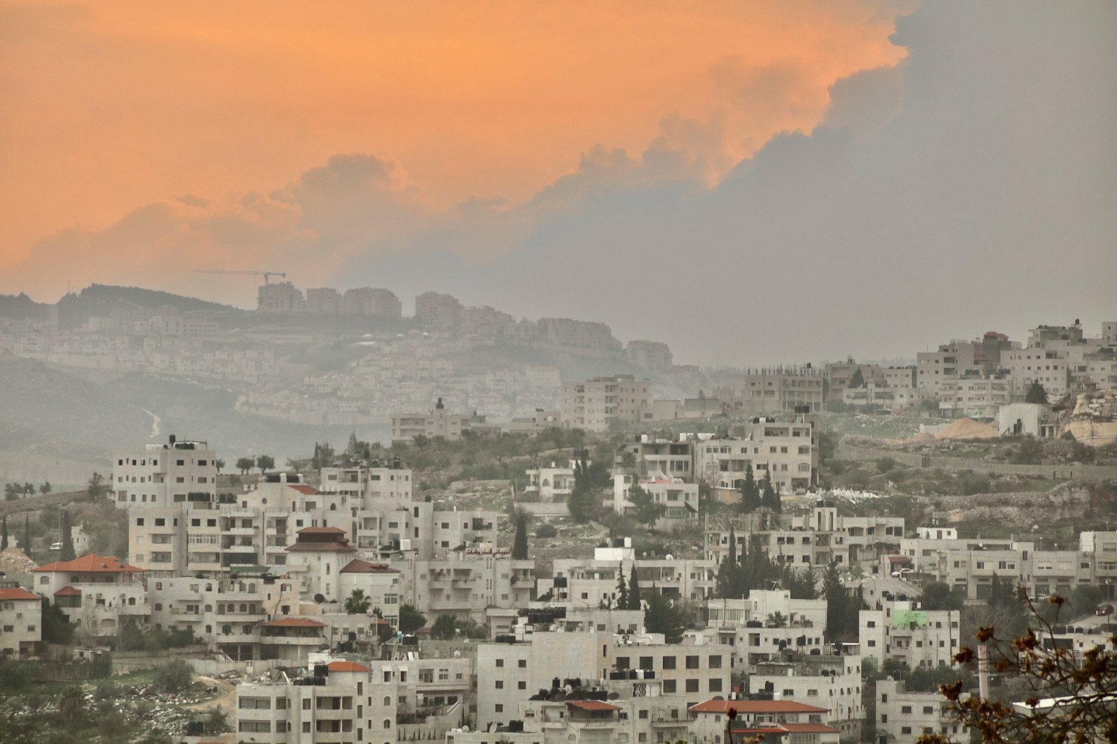
The checkpoint economy
At any time of day, there is a clamor of taxis and vendors around the entrance to Checkpoint 300. The wall has created a chokepoint where flows of mobility and capital stop or pause. In some cases they reform on the other side, for instance as permit-holding laborers travelling on foot, in others they remain within the colonial boundary. Fruit and coffee sellers do business with those leaving and arriving, and taxi drivers and carpark operators have adapted to curtailed mobilities.
Because West Bank Palestinians can only cross by foot with a permit, they travel only this far by car. This “checkpoint economy” is adaptive: Orchards have been paved over to accommodate cars, new supermarkets thrive in a grey zone for tax, and buildings have sprung where planning regulations are newly lax. The area immediately outside the checkpoint, at the northernmost point of the Hebron Road before the wall, takes multiple forms.
In the mornings, thousands of workers arrive by foot or car and jostle for a space in the queue. Peddlers offer coffee and ka’ek (Jerusalem bread) through the bars of the first corridor to workers, many of whom have served this economy for more than a decade by now.
During late mornings and early afternoons, there is a trickle of people passing both ways: students and other non-laborer permit holders, and the occasional tourist who strays this far from the artworks on the section of the wall further down the road.
Taxi drivers smoke and drink coffee, awaiting the rush of returning laborers through the checkpoint gates that starts at around 4 p.m. At this point the area is alive again with taxis filling up and carparks emptying out as everyone seeks to leave the area as quickly as possible.
Then there are holidays — Christian, Jewish and Muslim — that regularly disrupt these rhythms. For some Jewish holidays (Passover, Yom Kippur), the checkpoint is often closed completely, and at Christmas the three “Gates of the Patriarchs” are opened along the street so clergy and functionaries can travel from Jerusalem to the Church of Nativity in Bethlehem. During Ramadan, and at Eid al-Fitr especially, the area is transformed completely: The Israeli border police have taken to erecting temporary check booths and closed-in walkways where ordinarily the taxis wait.
On these days checkpoint users are not laborers but the Palestinian Muslims that Israel allows to pass for prayer at Al-Aqsa Mosque in Jerusalem without a permit: women, children and the elderly – those deemed less of a security threat to the colonial state. Such are the mutable, lively and tense urban spatial effects of Checkpoint 300.
Before the wall, businesses here thrived. Lucy’s furniture store — whose sign is still visible — sold wicker chairs to both middle-class Palestinian families and residents of the nearby Israeli settlements, Gilo and Har Gilo. An Israeli who grew up in Gilo told me that she distinctly remembers her childhood bedroom being furnished with Lucy’s products.
The Jewish holidays were, I am told, “also a holiday for us … in the 1980s and ‘90s you wouldn’t believe how many Palestinians there were on this street selling Jewish foods to settlers — it was also a Palestinian feast [financially]!”
These are not idyllic claims of peaceful co-existence. This earlier period was a time of accelerating settler colonialism that has brought us to this current moment.
Subsumed by settlers
In the years immediately after the Oslo Accords, the Hebron Road area experienced an economic boom that saw the construction of hotels, and eateries and bars prospered.
Hope waned as the promises of Oslo went unfulfilled and the Second Intifada (2000– 2005) prefaced a new era of Israeli spatial control. From 2003 onward, various plans surfaced for a separation barrier that would sever one part of Bethlehem from the other.
Security Cabinet Decision 64/B was passed, rerouting the proposed wall 500 meters south to annex Rachel’s Tomb. The new structure would reach farther into Palestinian space to grab the land around the tomb. Eviction notices were issued and slats were lowered, gradually closing in buildings and closing out Palestinians.
Tawfeek Natsheh, a welder whose workshop was subsumed, described his experience of this time: “After they started building the wall, I spent two years going to my workshop around its construction. The soldier used to let me go but then more and more he would ask what I was doing there.” The last time he went, they didn’t allow him to enter for two weeks. “I lost everything,” he said.
The original welding shop was in a building known by Palestinians as the Musallam Building. One of the large, three-story, multiuse buildings of the 1950s, its north side flanks the Muslim cemetery at Rachel’s Tomb. Until the 2000s, it was owned by three brothers who used the space for their pottery store and sandwich shop and rented out units for other businesses.
At first, the northernmost part of the Musallam Building was sealed off with a T-wall, before the West Bank wall consumed the entire plot and its adjacent outbuildings and lands. The Musallam Building now forms part of the Bnei Rachel (Sons of Rachel) complex, a yeshiva and accommodation quarters for Jewish Orthodox families. Bnei Rachel’s website advertises an events hall “for covenants, bat mitzvah, chalka, tefillin placement and more, as well as lectures and various events in the Rachel’s Tomb complex.” The tomb itself now receives 500,000 visitors per year.
This now thoroughly Jewish Israeli settler space thrives not only on Palestinian land but in Palestinian buildings, ones that are fondly remembered and sorely missed. They are also totally inaccessible to all Palestinians, including those who own them.
In the current division, children of the small settlement play on the plastic turf against the gray backdrop of the wall and under the protective eye of soldiers in the watchtower. A stream of religious tourists file through the strange, gray corridor that this protrusion into Bethlehem has created; they mourn and pray for Rachel, to them a specifically and uniquely Jewish matriarch.
Viewed from above, the strange intimacy of two disparate worlds is mapped out. Tons of painted, graffitied, attacked concrete slats carve a circuitous path from Checkpoint 300 along the elegant buildings that were once restaurants and bars; around the Anastas house; past the famous Walled Off Hotel, Waqf and Kando gas station; and down to the watchtower that looks over the Sansur, Harb and Wi’am Buildings as well as Jacir Palace.
From the other side, a pristine gray concrete runs both sides of the parallel path along a smooth asphalt serviced by Jerusalem public transportation and past a visitor parking lot (behind the Anastas house) and the open entrance to Rachel’s Tomb (with its recently painted blue dome) before opening out again to the yeshiva (Musallam) building, playground, and storage buildings.
This is a geography of colonial division like no other, a built-up area that has been transformed into an ethnoreligious, militarized security borderland that has slowly diminished Palestinian social, economic and political life on the Hebron Road.